Share

Create a web ready document ready for display from your web based project.
Create and share content
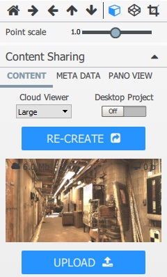
Your point cloud, CAD geometry, annotation, and attached documents can be quickly published for display using standard web browsers. Optionally, you can create a Project Package that can be downloaded from the cloud and manipulated with the desktop application. After you preview your content locally, and have reviewed the file size requirements, upload to the cloud for access anywhere. All of your cloud content is protected under user access control and file sharing protocols. |
Watch the demonstration video |
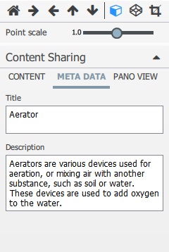
Title and Description meta data can be added before sharing. This data can be modified at any time and stored in the database. |
|
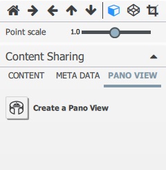
Create Panoramic Images from gridded laser scan data with associated Site Map and hyperlinks. Images are created for all visible gridded laser scan objects. You can also render visible geometry objects into the panoramic image. The Site Map is created from the current view. Before creating the Pano Views set the camera position, model view, and image size. |
|

Created with the Standard Edition of HelpNDoc: Produce online help for Qt applications